 guide
GUIDE
Getting Around the Capital Region: Metro, Rail, Bus, Roads and Tolls
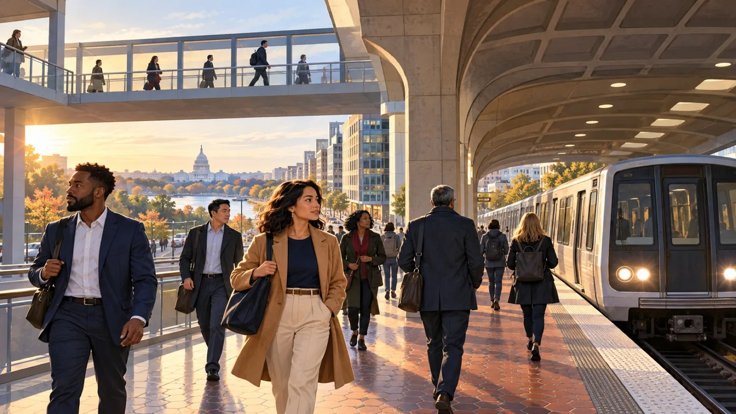
Build a journey around the actual address, time and return trip. A station name alone rarely tells the whole story.
CAPITAL REGION · COMMUNITY
Adams Morgan is a residential and commercial area organized around 18th Street, Columbia Road and several adjoining clusters, with international businesses, nightlife, parks and strong community institutions. It has no Metrorail station in its core, and DC's address-level civic boundaries remain more precise than the neighborhood label.
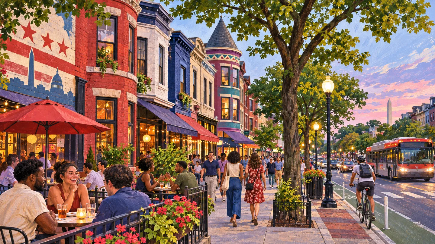
Adams Morgan is a residential and commercial area organized around 18th Street, Columbia Road and several adjoining clusters, with international businesses, nightlife, parks and strong community institutions. It has no Metrorail station in its core, and DC's address-level civic boundaries remain more precise than the neighborhood label.
The DC Office of Planning's Adams Morgan Vision Framework provides a useful editorial study area and identifies distinct retail clusters, but it is a planning document rather than an official neighborhood boundary. The area overlaps historic districts and touches Kalorama Triangle, Washington Heights, Lanier Heights, Mount Pleasant and Dupont-area edges. Latino, Ethiopian and other international communities have shaped its business and cultural identity alongside residential life, arts and nightlife. Coverage should identify the corridor or block and should not let a weekend entertainment image replace schools, parks, housing, civic organizations and everyday services.
Eighteenth Street and sections of Columbia Road can be active late into the evening, while nearby residential streets, parks and apartment buildings operate on different rhythms. Storefronts, restaurants, music, public art and community events reflect a long international and creative history. Walter Pierce Park, Kalorama Park and Marie Reed facilities provide additional anchors. Reporting should compare daytime and nighttime conditions and avoid describing the entire area through one entertainment strip.
Housing includes rowhouses, apartments, condominiums, cooperative buildings and subsidized or nonprofit-managed communities under different rules. Buyers and tenants should check building finances, lease or cooperative terms, noise exposure, loading or trash areas, historic status, renovation permits and nearby projects. DCPS assignment, ward and ANC must be verified by address. A recognizable Adams Morgan name does not establish a particular historic district, school, parking zone or permitted business use.
There is no Metrorail station within the main Adams Morgan commercial core. Woodley Park-Zoo/Adams Morgan, Columbia Heights and Dupont Circle may be useful for different destinations, with a bus, bike or walk completing the trip. Hills, long blocks, busy intersections and late-night service matter. Drivers should check parking restrictions and event impacts. Coverage should specify the route and time instead of calling the whole neighborhood Metro-adjacent or uniformly walkable.
DC agencies, parks and recreation, schools, property owners, the BID and civic organizations have different responsibilities. Public events, nightlife management, street work and park projects require current sources. Address-level tools should answer school, ward, ANC, parking, zoning and trash questions. Businesses and venues control their own hours, age rules and ticketing. The page should link readers to the responsible source and avoid copying promotional event language or making unsourced safety claims.
Adams Morgan supports restaurants, bars, retail, arts venues, professional and personal services, nonprofits and businesses serving international communities. The four retail clusters identified in the Vision Framework are useful for explaining differences, but current identity and hours must be verified business by business. Profiles should disclose sponsorship and avoid claiming that popularity or longevity proves quality. Coverage can follow legacy businesses, new openings, workforce, commercial rents and public-realm changes with clear source dates.
SCHOOLS + STUDENT LIFE
A neighborhood name does not prove a school assignment, voting district, ward, precinct, tax parcel or service boundary. Use the exact address in the current official lookup and confirm unusual cases with the responsible agency.
The school system and enrolled school make individual assignment, enrollment, transfer and athletic-eligibility decisions.
CIVIC + EVERYDAY SERVICES
Ward, ANC, school boundary and public-space questions can follow different maps. Check the exact address and current school year before making a household decision.
Jurisdiction resources checked 2026-11-10. Recheck changing boundaries, officeholders, meeting dates and registration inventory at the official source.
USE THIS AREA WELL
Name the corridor, block and time of day before planning an Adams Morgan trip or decision. A restaurant outing on 18th Street, an apartment visit near Columbia Road and a park program can require different stations, buses and final walks. For housing, verify historic status, building or cooperative documents, noise and service conditions, DCPS assignment, ward and ANC at the address. For business coverage, document the operator, public-facing offer, hours and relationship to the surrounding residential community. Use the Vision Framework for context, not as proof that a recommendation is complete or that old retail conditions remain current. The page should make room for Latino and international history, civic institutions, parks and everyday households alongside nightlife and visitor coverage.
BEFORE YOU CHOOSE
ONGOING COVERAGE
OFFICIAL STARTING POINTS
RELATED READING
guide
GUIDE
Build a journey around the actual address, time and return trip. A station name alone rarely tells the whole story.
 guide
GUIDE
Use the station area and building address to turn a broad Tysons search into a practical plan.
 guide
GUIDE
Reston works best when you connect the transit map to the particular destination and path you intend to use.