 community
COMMUNITY
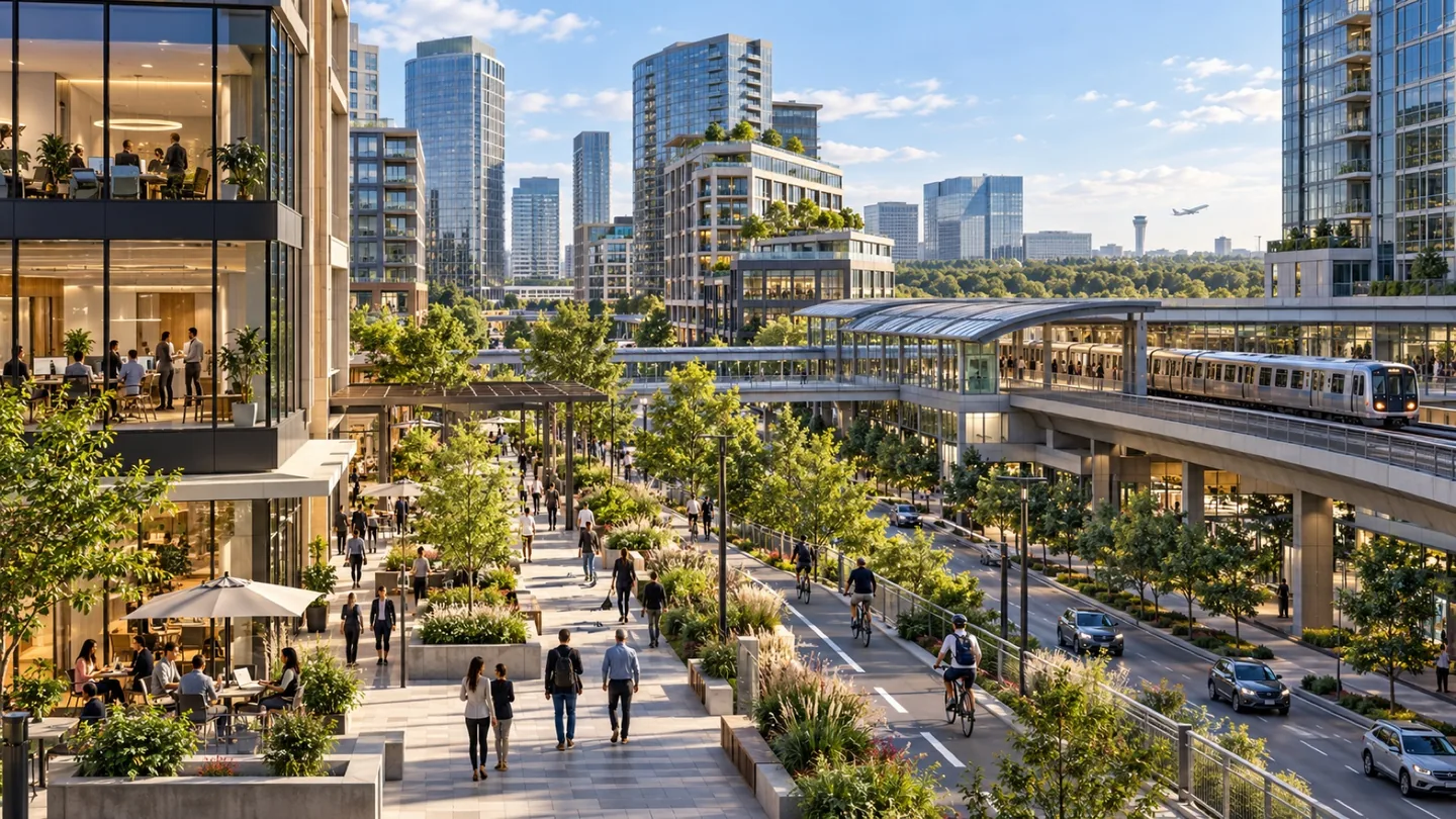
Tysons is best explored one destination at a time. A shopping trip to Tysons Corner Center, a performance at Capital One Hall and an apartment visit can lead to different station areas and very different walks. Four Silver Line stations connect this Fairfax County center, but the routes between buildings still matter. Start with the place you want to reach, then explore its surrounding streets. That approach reveals the useful connections—and the road crossings—that a skyline photograph cannot show.
 community
COMMUNITY
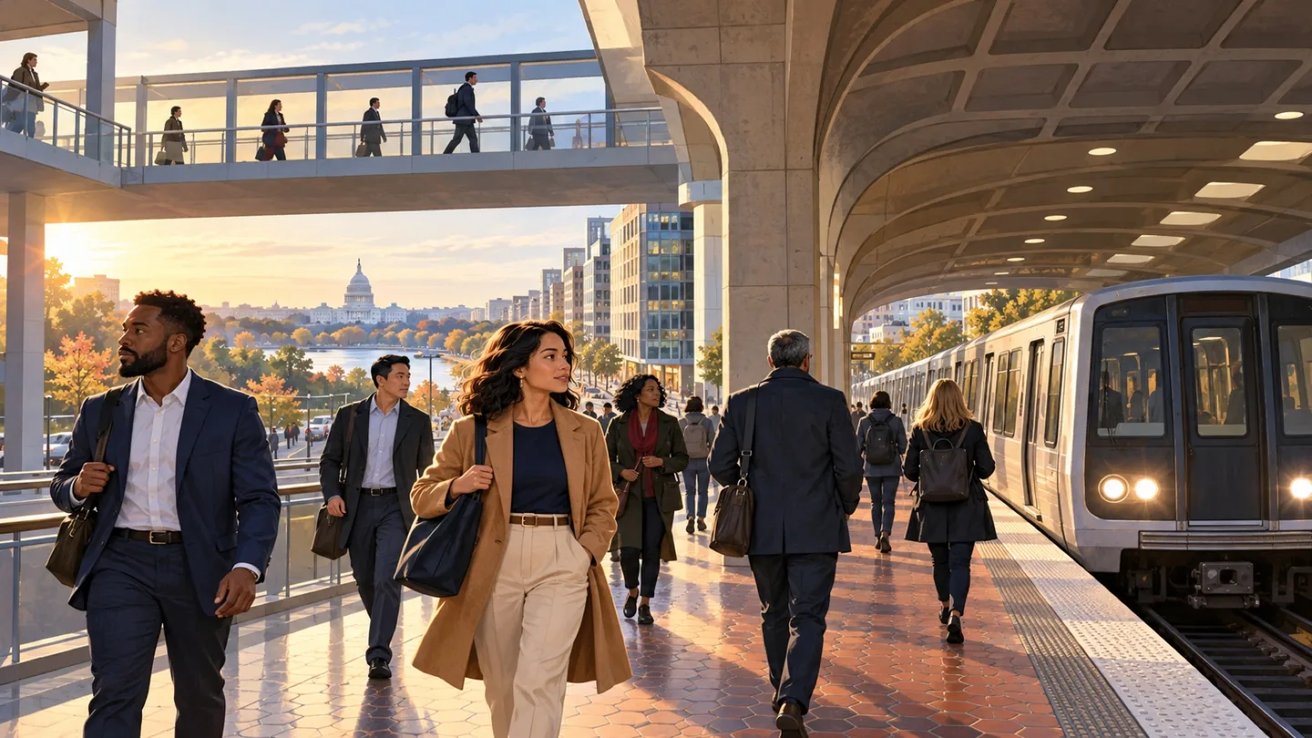
Clarendon brings together an Arlington Metro station, commercial streets and surrounding homes in a setting that changes from block to block. The county describes a mix of apartments, condominiums, single-family homes, offices, independent businesses and chains. Begin around Clarendon Metro, then include Market Common and the residential streets relevant to your visit. This gives a fuller picture than a single meal or apartment tour. Clarendon also has an important Vietnamese American history: its former Little Saigon was a center of commerce and community life.
 community
COMMUNITY
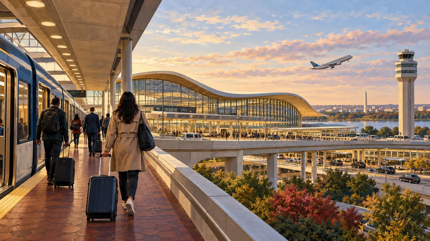
Rosslyn is an Arlington urban village with a prominent urban-center identity. The county’s sector-plan work describes a place intended to connect jobs, homes, activity and public space. For a resident or visitor, the practical experience still begins with a particular block.
 community
COMMUNITY
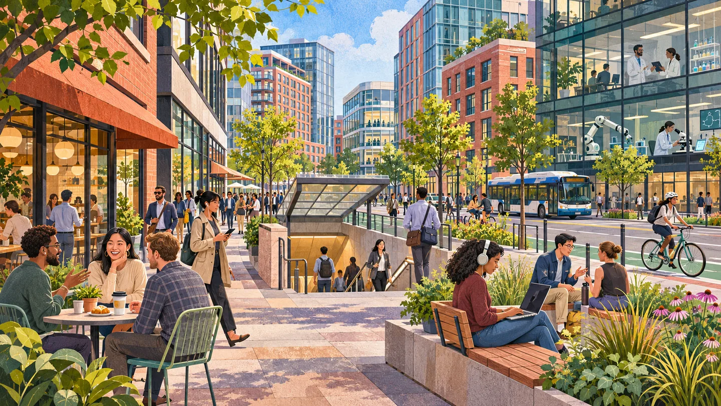
Ballston is Arlington’s western Rosslyn-Ballston corridor hub, centered on Ballston-MU Metro, Fairfax Drive, Wilson Boulevard and North Glebe Road. Its mix of apartments, offices, research institutions, retail and public spaces makes it useful for commuters, residents, students and businesses evaluating a transit-oriented Arlington location.
 community
COMMUNITY
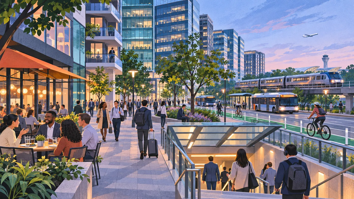
Crystal City is a dense Arlington district where offices, apartments, hotels, transit and airport-oriented travel meet. It is a component of National Landing, not a separate jurisdiction. Useful planning starts with the exact building, station entrance and street-level route rather than the broader National Landing label.
 community
COMMUNITY
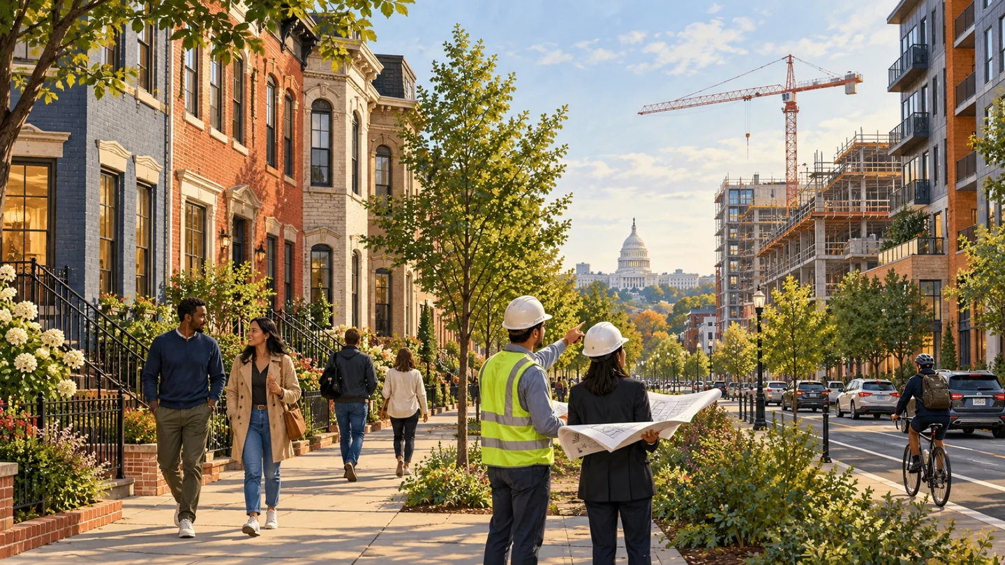
National Landing is a shared business-district and editorial identity for connected parts of Arlington. It helps readers explore a broader urban area while retaining the distinct names of Crystal City, Pentagon City and Potomac Yard–Arlington.
 community
COMMUNITY
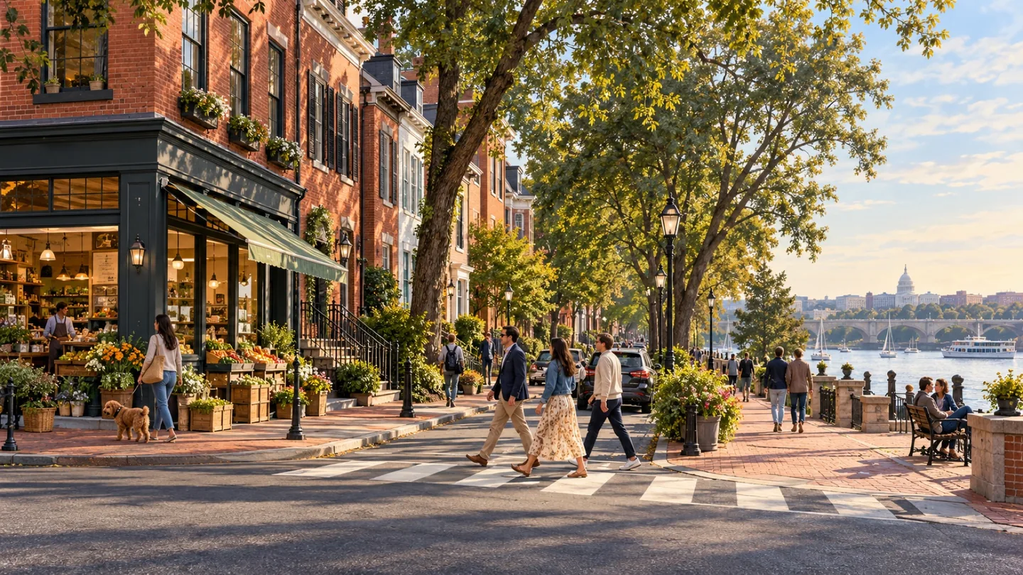
Old Town Alexandria offers more than a historic streetscape. King Street connects a sequence of shops, restaurants and civic destinations, while the waterfront adds art, public space and stories of the city's working past. The Torpedo Factory Art Center is a useful anchor, and the city's African American Heritage Trail gives a waterfront visit greater historical depth. Choose a few connected stops and leave time for the streets between them. Old Town is part of the independent City of Alexandria, not a separate present-day town.
 community
COMMUNITY
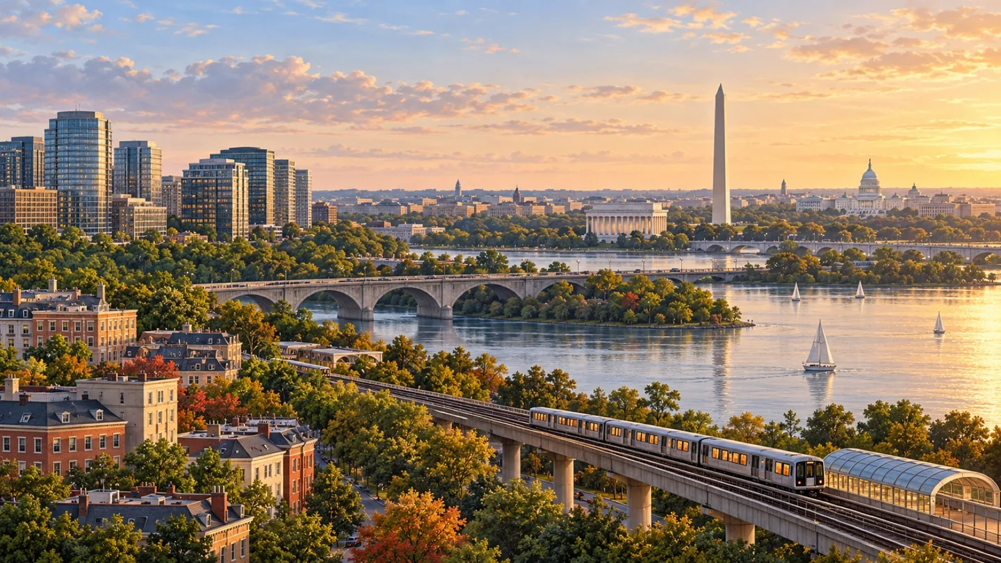
Reston is a planned community within Fairfax County, with a history of arranging homes, employment and open space as parts of one community. A useful visit looks beyond a single commercial center to the routes and destinations that support everyday life.
 community
COMMUNITY
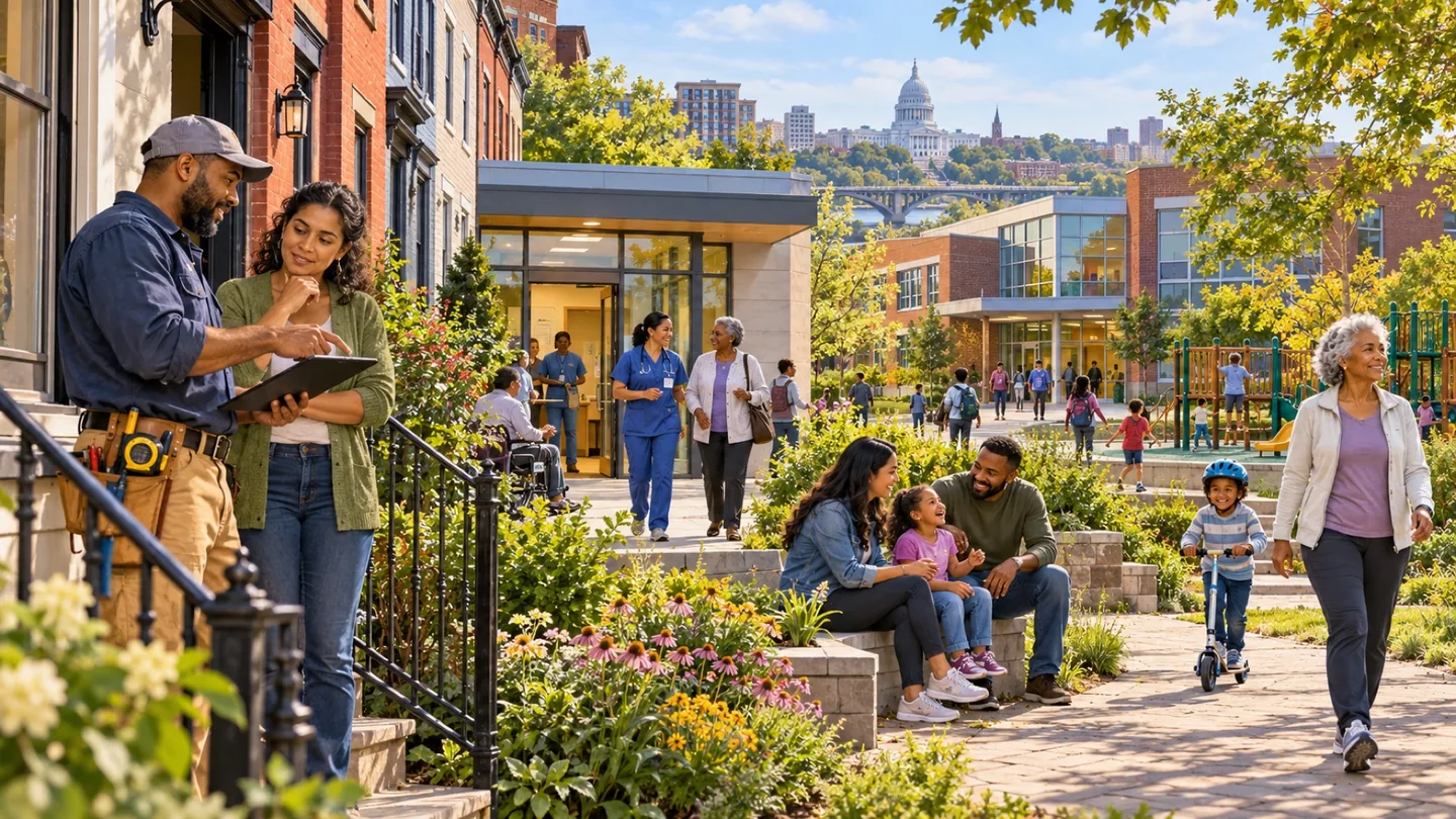
McLean is an unincorporated Fairfax County community with a recognizable business center and a broader residential identity. The most useful starting point is the specific address, because a commercial planning district and the larger place name serve different purposes.
 community
COMMUNITY
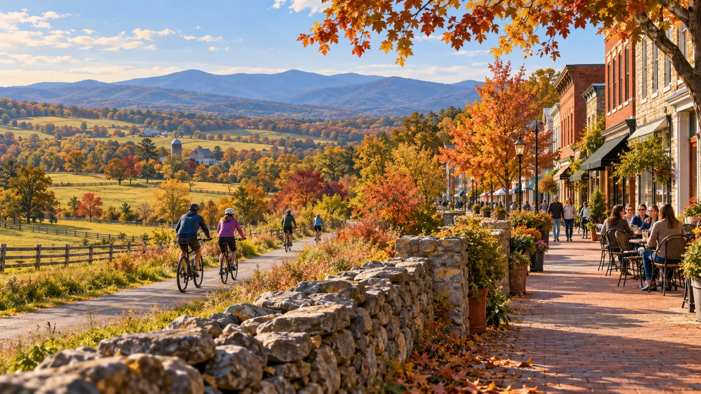
Ashburn is an unincorporated Loudoun County community that appears in both residential and business conversations. The broader area is associated with technology, recreation and dining, but an effective local guide begins by clarifying which actual place or address a reader means.
 community
COMMUNITY
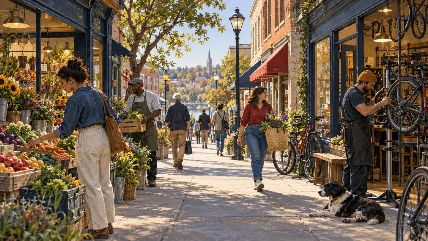
Georgetown offers several distinct visits within the same DC neighborhood. M Street and Wisconsin Avenue provide the main shopping crossroads; Book Hill adds galleries, antiques and independent boutiques farther up Wisconsin Avenue; and the Potomac waterfront offers park paths and river views. Cady's Alley provides another focus for design and home furnishings. Choose the experience that interests you before choosing an arrival point. Moving between these areas involves different streets and surfaces, and a waterfront visit is not the same journey as an afternoon around Book Hill.
 community
COMMUNITY
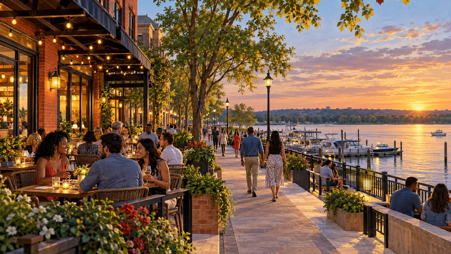
Capitol Hill / Eastern Market pairs a DC neighborhood with one of its recognizable community destinations. Eastern Market provides a concrete starting point for exploring nearby streets, local food and everyday activity without reducing the broader neighborhood to a single attraction.
 community
COMMUNITY
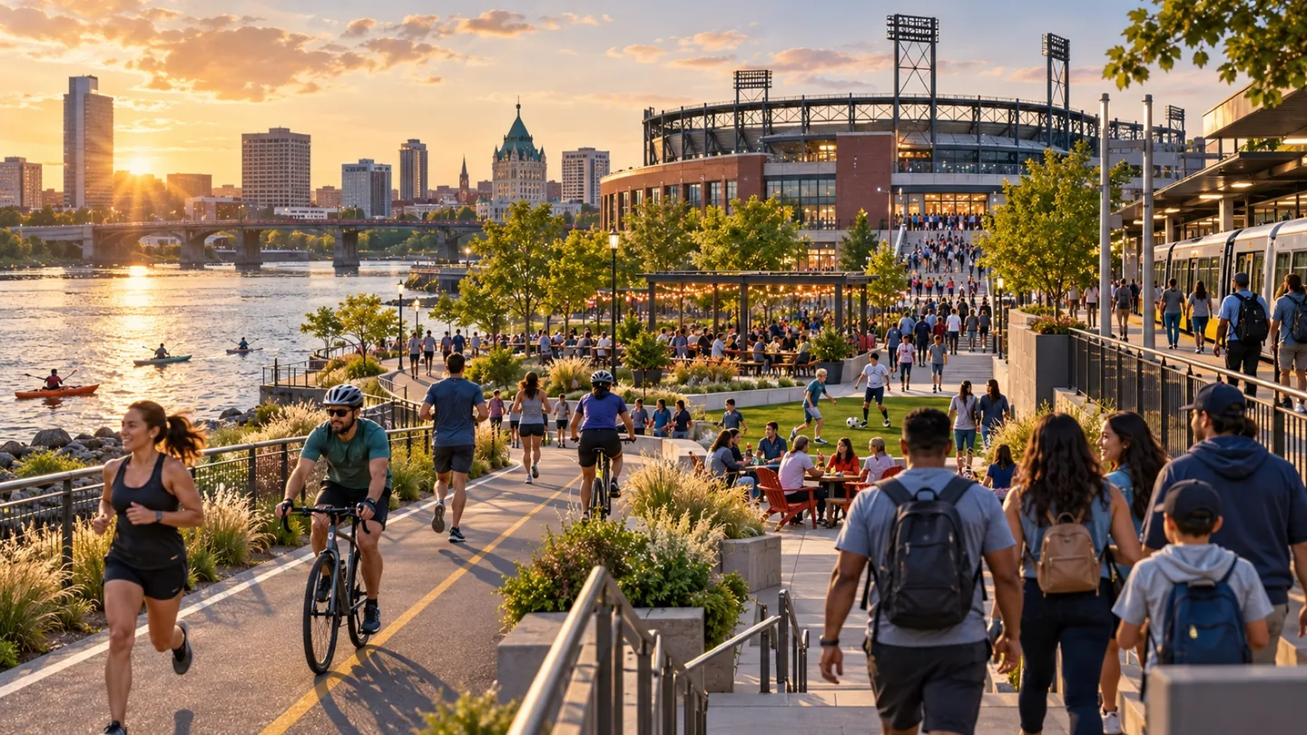
Navy Yard / Capitol Riverfront offers a DC riverfront setting where recreation, dining and sports-related visits sit alongside everyday neighborhood life. The planned guide name is retained while the current district organization presents itself under the Navy Yard brand.
 community
COMMUNITY
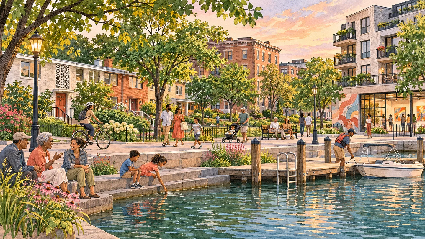
The Wharf / Southwest Waterfront page separates a high-activity waterfront destination from the broader Southwest neighborhood of modernist housing, civic spaces, institutions and everyday services. It helps readers evaluate Washington Channel access, M Street connections and residential blocks without treating The Wharf development as all of Southwest DC.
 community
COMMUNITY
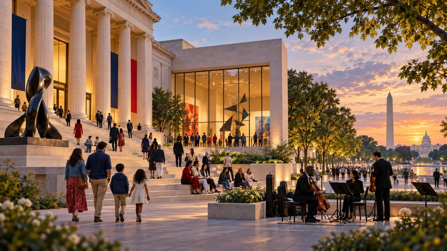
Dupont Circle / Embassy Row brings together a familiar DC neighborhood and a diplomatic corridor reference. The pairing is useful for exploration, but it is an editorial grouping rather than a single official neighborhood or governmental district.
 community
COMMUNITY
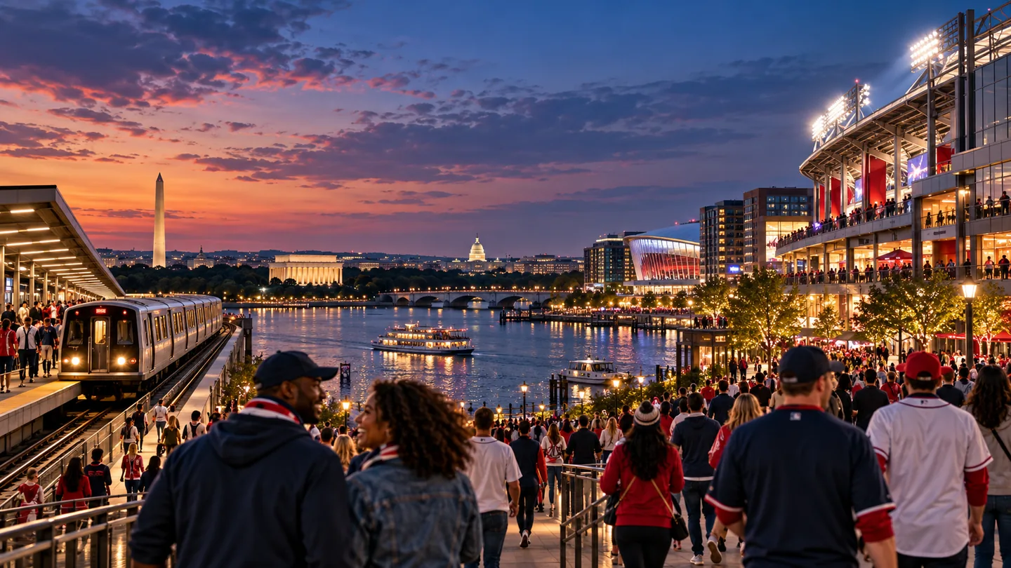
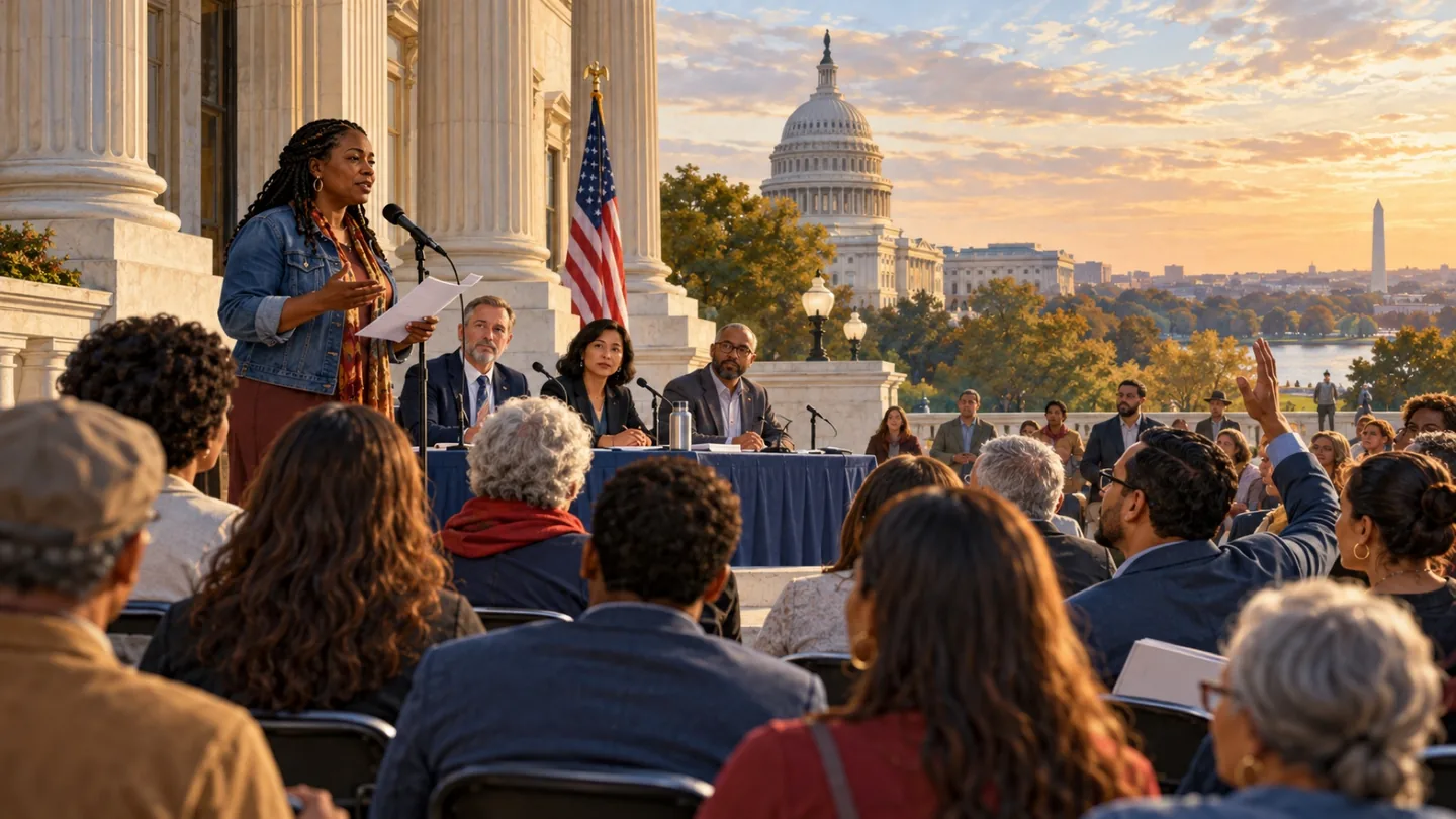
Logan Circle / 14th Street / U Street links neighborhood streets with overlapping commercial and cultural corridors. The combined guide is intended to help readers navigate that relationship while preserving the fact that these names do not describe a single official neighborhood boundary.
 community
COMMUNITY
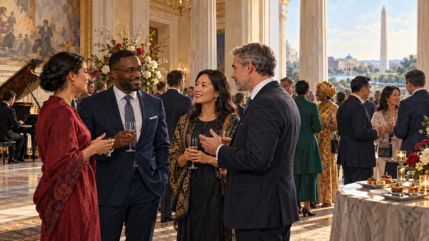
NoMa / Union Market connects a DC district shaped by rail and industrial history with a nearby market-area destination. The combined guide helps readers explore related places while preserving the difference between a business-district boundary and a broader editorial area.
 community
COMMUNITY
Leesburg is an incorporated town within Loudoun County, with a historic downtown that offers a clear starting point for exploration. The town also has places beyond that center, so a useful local comparison should connect downtown character with the actual destinations of everyday life.
 community
COMMUNITY
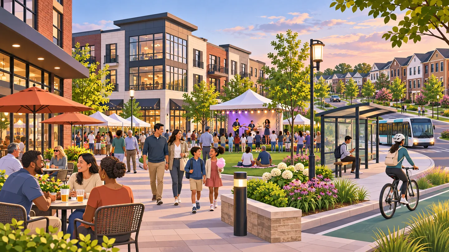
Del Ray is an Alexandria neighborhood with a story rooted in rail and streetcar connections. Its history is useful context for an area best explored through local streets and ordinary destinations, rather than treated only as a stop on a regional itinerary.
 community
COMMUNITY
One Loudoun is a master-planned mixed-use center in Ashburn at Route 7 and Loudoun County Parkway. A town-center district, varied housing, offices, parks, events and county transit connections make it a regional destination, but its managed boundaries and private amenities differ from the wider Ashburn community.
 community
COMMUNITY
Dulles Airport / Dulles Corridor is a regional connection rather than a single neighborhood. The airport, business destinations and surrounding communities serve different purposes, making a precise address or terminal destination more useful than the broad Dulles label.
 community
COMMUNITY
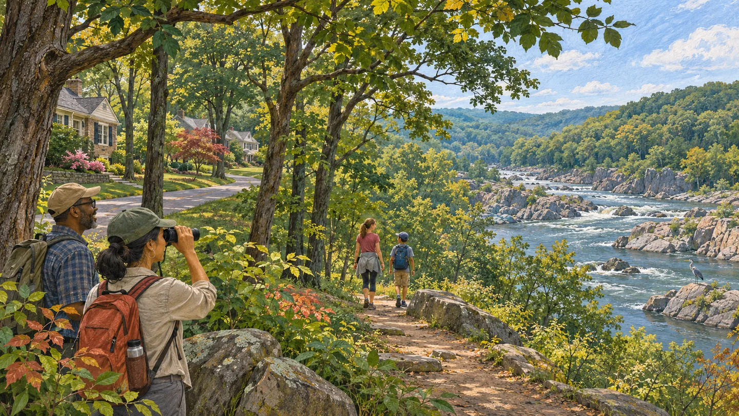
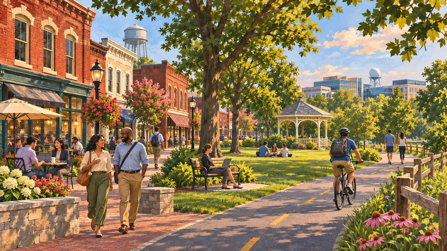
Great Falls is an unincorporated Fairfax County community of wooded residential areas, a compact village center and major Potomac River parkland. This guide separates everyday community decisions from a visit to federally managed Great Falls Park, while connecting readers to county planning, library, transit and Riverbend Park resources.
 community
COMMUNITY
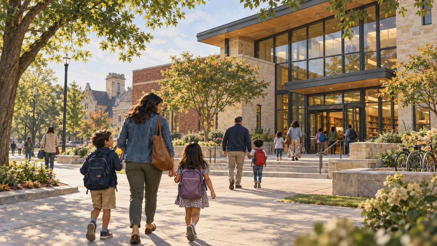
Herndon is an incorporated Fairfax County town with a historic center, residential neighborhoods, local government and a technology-oriented business base near the Dulles corridor. The town boundary is narrower than the Herndon postal identity, so every civic, property and business claim should begin with the exact address.
 community
COMMUNITY
Merrifield / Mosaic District connects a broader Fairfax County place with one of its recognizable mixed-use destinations. This combined guide is useful for exploring nearby errands, dining and property options while keeping the two names from becoming interchangeable.
 community
COMMUNITY
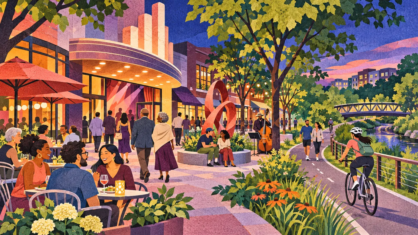
Courthouse is Arlington’s civic center and a mixed-use Metro neighborhood between Rosslyn and Clarendon. County government, courts, apartments, offices, restaurants and public gathering spaces concentrate around Court House station and Courthouse Plaza, while lower-scale residential areas begin quickly beyond the central blocks.
 community
COMMUNITY
Shirlington is a compact south Arlington arts, dining and residential center organized around Campbell Avenue, the Shirlington Bus Station and Four Mile Run. Signature Theatre, the public library, restaurants, apartments and townhouses create a destination that functions differently from Arlington’s Metrorail-centered urban villages.
 community
COMMUNITY
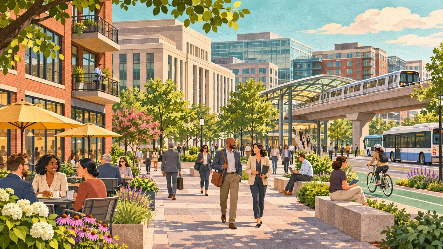
Potomac Yard in Alexandria is a developing mixed-use district shaped by the Potomac Yard-VT Metro station, Route 1, Potomac Yard Park and the former rail-yard corridor. Housing, retail, university activity, parks and major transportation links make exact location and planning status essential to any useful guide.
 community
COMMUNITY
Carlyle and Eisenhower East form an Alexandria transit and employment district around John Carlyle Street, Eisenhower Avenue and two nearby rail hubs. Federal agencies, offices, apartments, retail, parks and redevelopment sites create a useful but complex area where the exact planning boundary and block matter.
 community
COMMUNITY
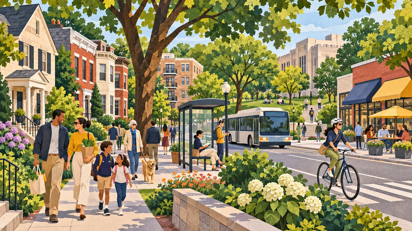
Downtown and Penn Quarter form a dense Washington activity center of offices, federal and District institutions, museums, theaters, restaurants, transit and major events. Downtown is a broad label, while Penn Quarter and Chinatown carry distinct histories. Readers should begin with the venue, block and event schedule.
 community
COMMUNITY
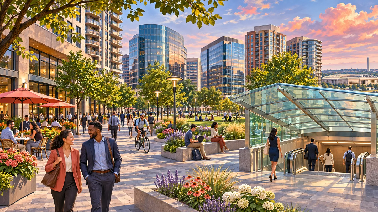
The Golden Triangle is a defined business improvement district spanning a large office-centered part of northwest Washington, while K Street continues beyond it. The area links professional services, global institutions, parks and federal-adjacent business. Readers need the exact address, Metro entrance and responsible public or BID source.
 community
COMMUNITY
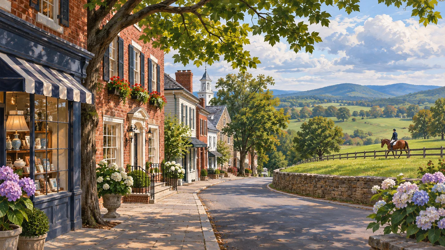
Foggy Bottom / West End links a historic residential core with George Washington University, major federal and cultural institutions, modern apartment buildings, hotels and offices. This editorial grouping helps readers compare distinct blocks between Georgetown and Downtown without pretending the District has official neighborhood boundaries.
 community
COMMUNITY
Upper Northwest is the parent guide for six distinct DC communities: Chevy Chase, DC; Tenleytown / American University Park; Palisades; Spring Valley; Glover Park; and Cathedral Heights. It compares their corridors, housing, institutions, parks and transportation without flattening them into one neighborhood or confusing Chevy Chase, DC with Maryland.
 community
COMMUNITY
Sterling is an unincorporated eastern Loudoun community shaped by established neighborhoods, major road corridors, parks and extensive business and industrial areas near Dulles Airport. It has no town government. Useful coverage must distinguish the Census place, county planning community, postal usage and the separate Dulles corridor.
 community
COMMUNITY
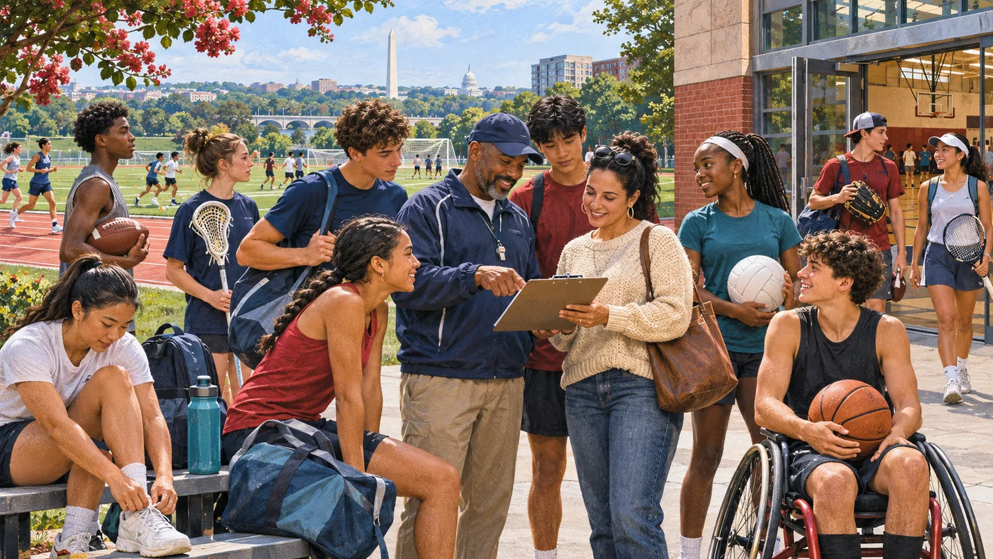
Gainesville / Haymarket is a combined guide to two nearby Prince William County places with different legal forms. It offers a useful way to explore the western county while preserving the distinction between Gainesville’s Census-place identity and the incorporated Town of Haymarket.
 community
COMMUNITY
Woodbridge / Lake Ridge connects two unincorporated Prince William County places for readers exploring the eastern county. The combined name is editorial, helping organize nearby community information without implying one municipality or one uniform residential setting.
 community
COMMUNITY
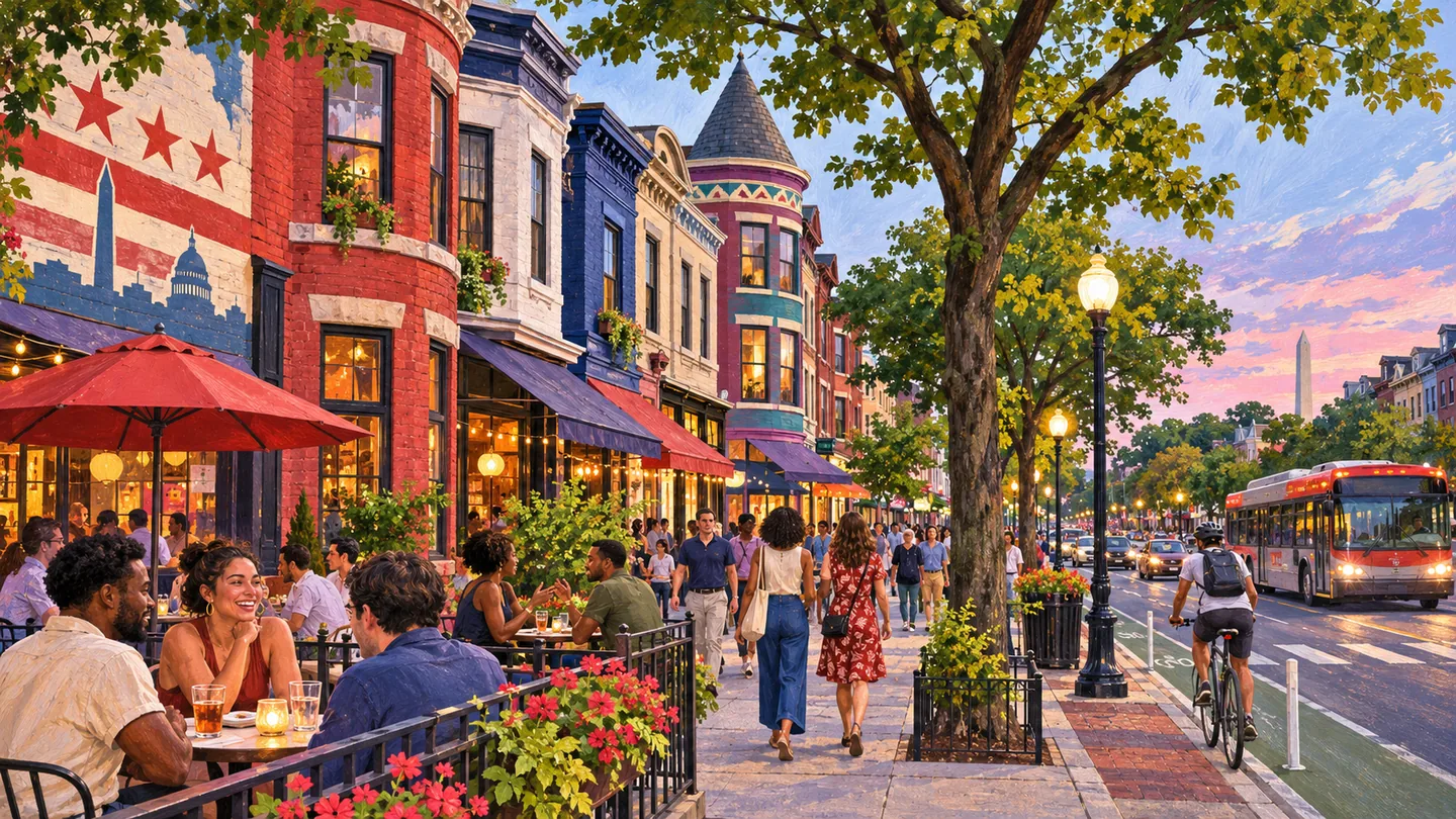
Adams Morgan is a residential and commercial area organized around 18th Street, Columbia Road and several adjoining clusters, with international businesses, nightlife, parks and strong community institutions. It has no Metrorail station in its core, and DC's address-level civic boundaries remain more precise than the neighborhood label.
 community
COMMUNITY
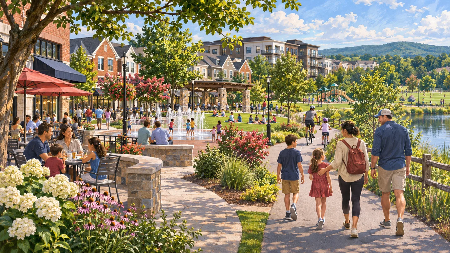
Brambleton is a planned Loudoun community with residential villages, a town-center setting, county parks, schools, trails and a major public library. County government, the homeowners association, private property owners and regional transportation providers have different roles, so useful guidance must name the address and responsible organization.
 community
COMMUNITY
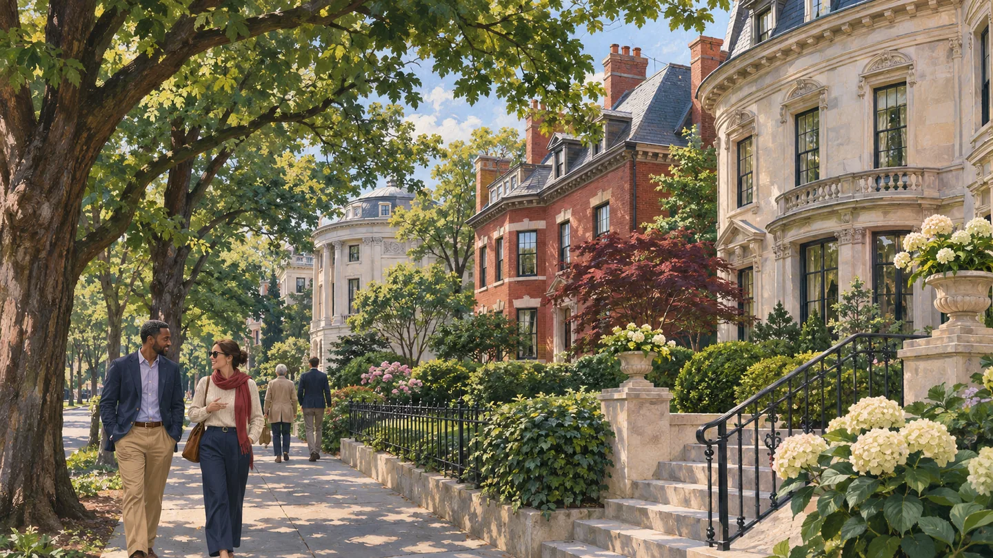
Kalorama is an editorial umbrella for Kalorama Triangle and Sheridan-Kalorama, two related but distinct historic residential areas in Northwest Washington. DC does not define official neighborhood boundaries, so every property, school, ward, ANC, parking and preservation claim must be checked by exact address.
 community
COMMUNITY
Middleburg is an incorporated western Loudoun town with a compact historic center, equestrian and countryside connections, local institutions and a visitor economy. Town limits, surrounding rural addresses and the broader Middleburg brand are not interchangeable, so every civic, property and business claim needs a precise geography.
 community
COMMUNITY
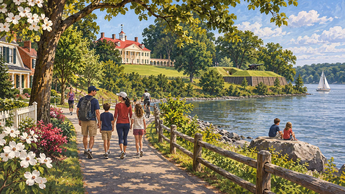
Mount Vernon / Fort Hunt is an editorial grouping in southeastern Fairfax County that connects residential communities, the Potomac riverfront, Fort Hunt Park, the George Washington Memorial Parkway and Richmond Highway access. It is not one municipality or one official boundary, so every service and property claim needs a precise address.
 community
COMMUNITY
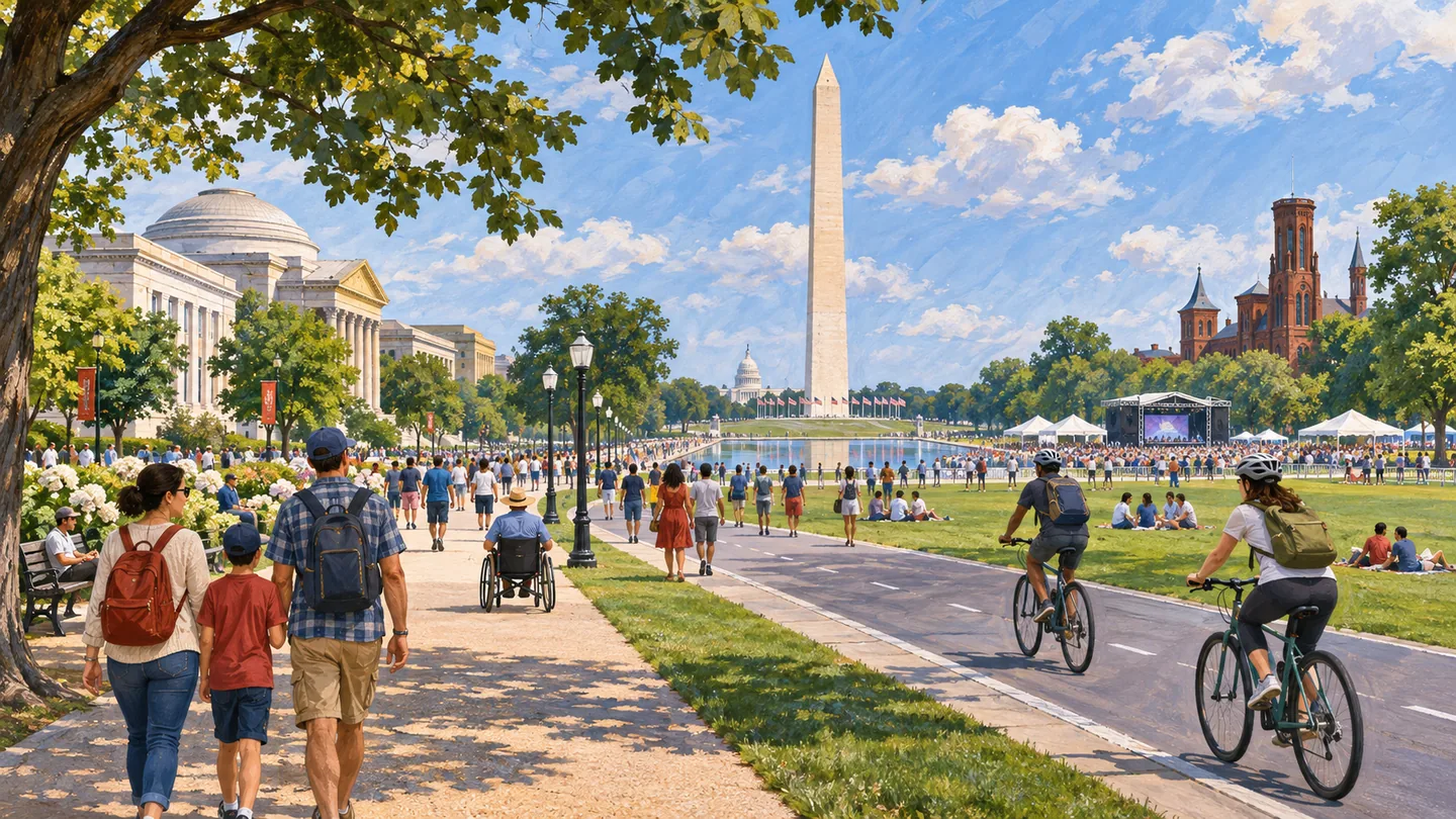
The National Mall and monumental core form a federal civic, museum and park landscape rather than a residential neighborhood. A useful guide must name the monument, museum, lawn, federal building or event zone, then verify the responsible agency, entrance, screening, closure and transportation plan.
 community
COMMUNITY
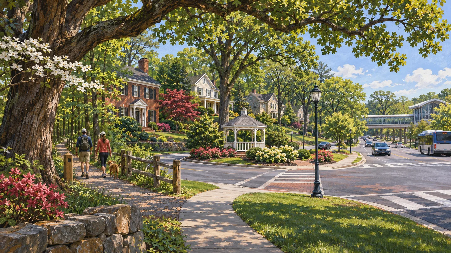
Oakton is an unincorporated Fairfax County community whose wooded residential areas, local shopping, public facilities and regional roads do not form one municipal center. The address, subdivision and road connection matter more than the postal name when evaluating schools, services, property or an everyday trip.
 community
COMMUNITY
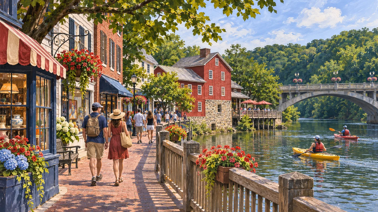
Occoquan is a small incorporated Prince William County town on the Occoquan River, with a historic commercial center, municipal parks, waterfront access and a strong events calendar. Town limits are compact, so nearby addresses and the wider Occoquan market should not be treated as the municipality.
 community
COMMUNITY
Pentagon City is an Arlington mixed-use district centered on Metro, housing, offices, hotels, retail and Virginia Highlands Park. It is a component of the National Landing planning and business identity, but it remains distinct from Crystal City, the Pentagon reservation and nearby residential neighborhoods.
 community
COMMUNITY
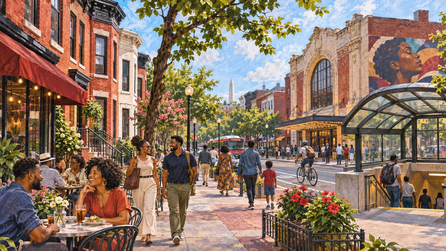
Shaw is a historically significant Northwest Washington community shaped by Black cultural institutions, residential streets, 7th and 9th Street activity, Metro access and continuing development. Its historic district, planning frameworks and everyday neighborhood use overlap but are not identical boundaries.
 community
COMMUNITY
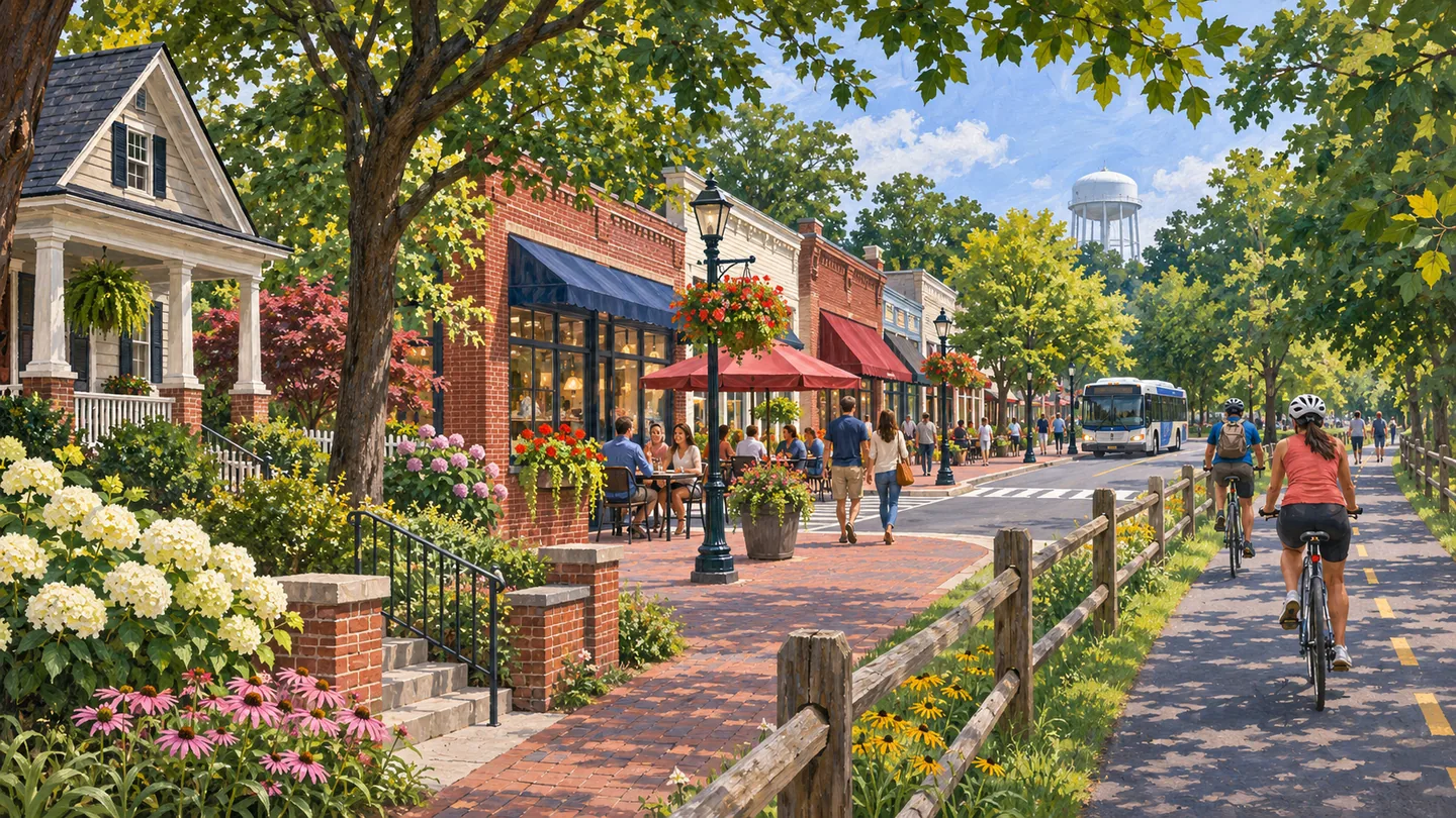
Vienna is an incorporated Fairfax County town with its own municipal government, a compact commercial center, established residential streets and the Washington and Old Dominion Trail. The town boundary is substantially narrower than the Vienna postal identity, so useful coverage must start with the exact address and responsible government.
 community
COMMUNITY
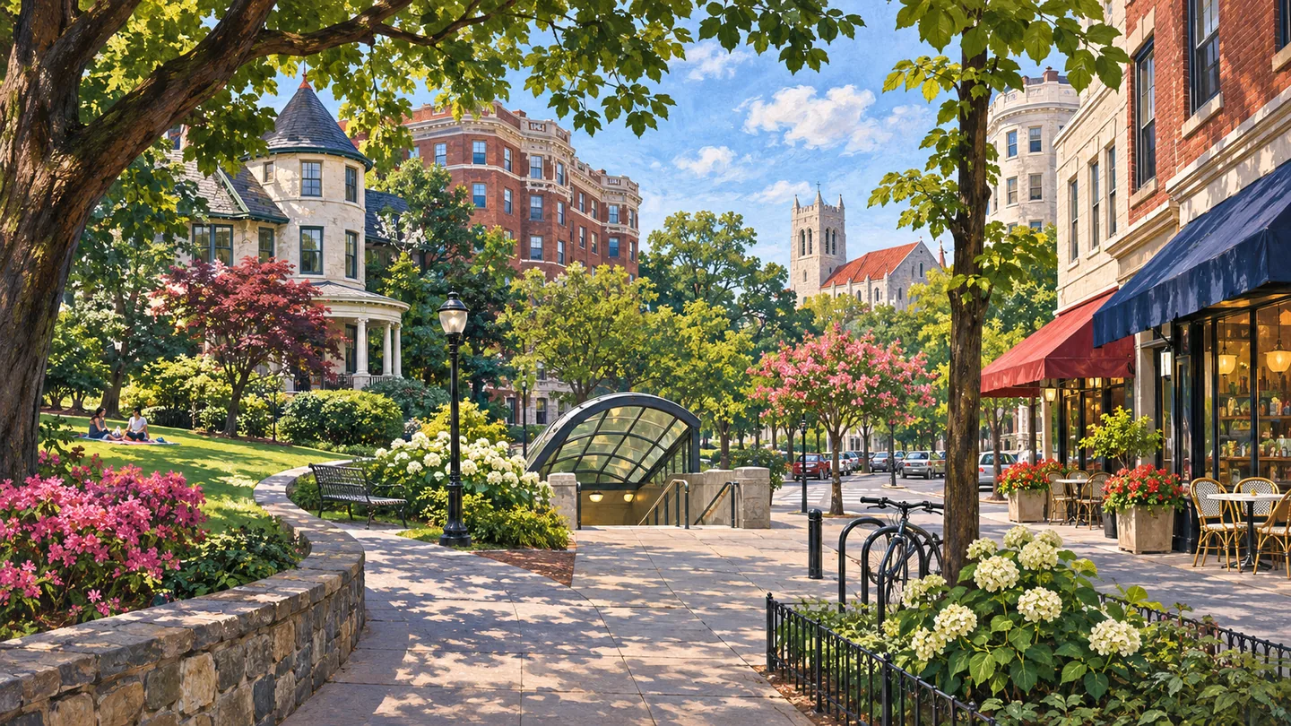
Woodley Park and Cleveland Park are adjacent Northwest Washington neighborhoods with separate historic identities, Red Line stations, Connecticut Avenue commercial nodes and access to Rock Creek Park and the National Zoo. A comparison page should preserve their differences rather than present one blended boundary.