 guide
GUIDE
Moving to Washington, DC: Neighborhoods, Transportation and Civic Basics
A useful DC search starts with your week, then tests the addresses and services that would support it.
CAPITAL REGION · COMMUNITY
Upper Northwest is the parent guide for six distinct DC communities: Chevy Chase, DC; Tenleytown / American University Park; Palisades; Spring Valley; Glover Park; and Cathedral Heights. It compares their corridors, housing, institutions, parks and transportation without flattening them into one neighborhood or confusing Chevy Chase, DC with Maryland.
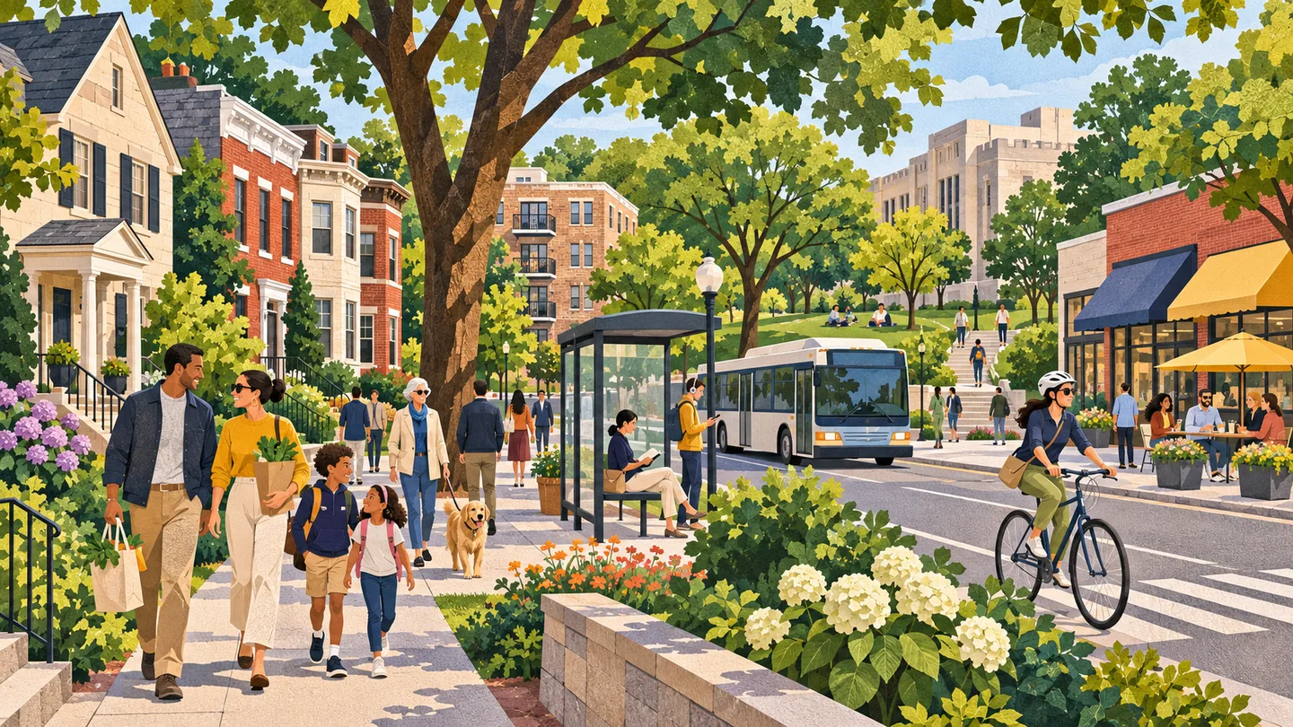
Upper Northwest is the parent guide for six distinct DC communities: Chevy Chase, DC; Tenleytown / American University Park; Palisades; Spring Valley; Glover Park; and Cathedral Heights. It compares their corridors, housing, institutions, parks and transportation without flattening them into one neighborhood or confusing Chevy Chase, DC with Maryland.
This editorial macro-area exists to serve six components that do not launch as separate pages: Chevy Chase, DC; Tenleytown / American University Park; Palisades; Spring Valley; Glover Park; and Cathedral Heights. It is not a legal boundary, all of Ward 3 or the entire Rock Creek West planning area. The page should help readers choose among local commercial nodes, Wisconsin Avenue and MacArthur Boulevard corridors, Massachusetts Avenue institutions, park-edge settings and the Tenleytown-AU rail anchor. DC has no official neighborhood boundaries, so property, school, ward, ANC, historic and zoning facts must be verified for an exact address.
Chevy Chase, DC has a village-like commercial core distinct from Maryland; Tenleytown / AU Park combines a Red Line node with schools, university activity and residential streets. Palisades follows MacArthur Boulevard near Potomac-side parkland, while Spring Valley is residential and institution-oriented around Massachusetts Avenue. Glover Park mixes rowhouses, garden apartments and Wisconsin Avenue businesses. Cathedral Heights pairs larger residential buildings with religious, educational and cultural institutions. Each needs its own subsection within this parent.
The six components include detached houses, rowhouses, garden apartments, condominiums, cooperatives and larger corridor buildings in different proportions. Topography, park edges, historic or campus settings, accessory-unit rules, parking and renovation constraints vary by parcel. Buyers and tenants should verify zoning, permits, lot conditions, building reserves, association rules and public-school assignment by exact address. A broad Upper Northwest label cannot establish property condition, redevelopment potential, accessibility, flood or drainage exposure, or which commercial node is genuinely walkable.
Tenleytown-AU is the direct Red Line anchor within this six-part grouping. Other components depend more heavily on bus corridors, walking, cycling, driving or connections to stations outside the component, with hills, parkland and discontinuous street grids affecting routes. Wisconsin Avenue, MacArthur Boulevard and Massachusetts Avenue serve different travel patterns rather than one shared commute. Test the exact trip through current WMATA and DDOT tools, including evenings and weekends, without assuming a standard neighborhood travel time.
Parks, libraries, schools, universities, religious institutions, recreation and neighborhood retail are distributed across the six components, not concentrated in one center. Rock Creek Park and federally managed neighborhood park sites have their own alerts, rules and permit requirements. DCPS assignment, ANC, ward, parking zones and trash services must be checked by address. Households should map groceries, health care, play space and accessibility from the actual block, while organizations should verify institution and public-space calendars.
The commercial ecosystem is local-node driven: Wisconsin Avenue supports Tenleytown, Glover Park and Cathedral Heights in different ways; MacArthur Boulevard serves Palisades; Connecticut Avenue and nearby nodes influence Chevy Chase, DC; and Massachusetts Avenue institutions shape Spring Valley demand. Education, health, professional services, dining, home services, nonprofits and cultural organizations are important lanes. Operators should analyze the specific component's pedestrian catchment, student or institutional calendar, deliveries, parking and neighboring residential expectations rather than using Ward-wide demographics alone.
SCHOOLS + STUDENT LIFE
A neighborhood name does not prove a school assignment, voting district, ward, precinct, tax parcel or service boundary. Use the exact address in the current official lookup and confirm unusual cases with the responsible agency.
The school system and enrolled school make individual assignment, enrollment, transfer and athletic-eligibility decisions.
CIVIC + EVERYDAY SERVICES
Ward, ANC, school boundary and public-space questions can follow different maps. Check the exact address and current school year before making a household decision.
Jurisdiction resources checked 2026-11-10. Recheck changing boundaries, officeholders, meeting dates and registration inventory at the official source.
USE THIS AREA WELL
Use this parent page as a six-way comparison, then make the decision at component and address level. Choose Chevy Chase, DC for its own District-side commercial and residential context, not as a proxy for Maryland. Compare Tenleytown / American University Park when Red Line access and institutional activity matter; Palisades for MacArthur Boulevard and Potomac-side park access; Spring Valley for its Massachusetts Avenue residential and institutional setting; Glover Park for its mix of rowhouses, apartments and Wisconsin Avenue businesses; and Cathedral Heights for larger residential buildings and major institutions. Next, test the exact route to transit, groceries, parks, health care and the services used weekly. For property decisions, verify zoning, permits, building finances, lot conditions, parking and school assignment by address. For business decisions, measure each commercial node separately and account for students, residents, institutional schedules and delivery constraints. This page intentionally excludes other Ward 3 and Rock Creek West neighborhoods. It should link readers outward when a need belongs to Friendship Heights, Cleveland Park, Woodley Park or another distinct area.
BEFORE YOU CHOOSE
ONGOING COVERAGE
OFFICIAL STARTING POINTS
RELATED READING
guide
GUIDE
A useful DC search starts with your week, then tests the addresses and services that would support it.