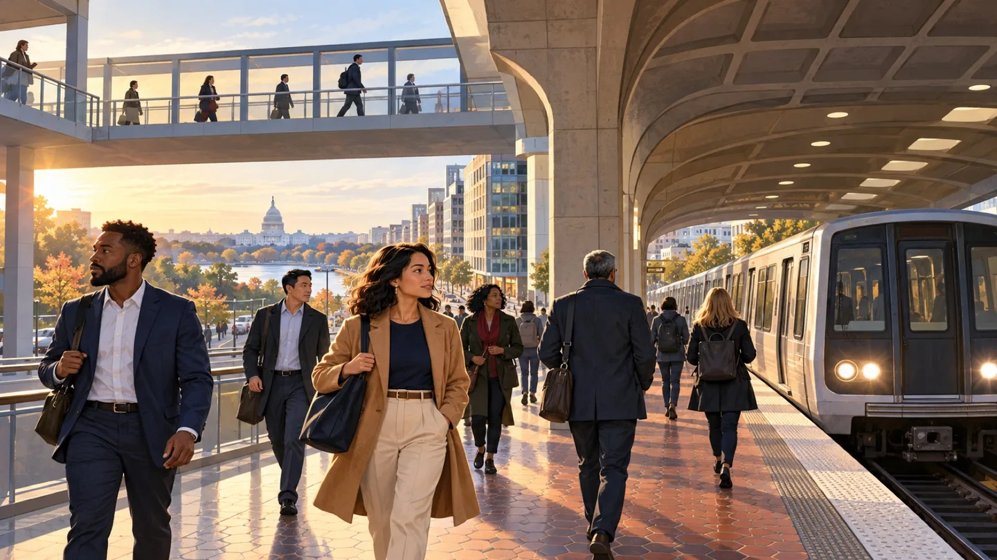
 guide
GUIDE
Getting Around the Capital Region: Metro, Rail, Bus, Roads and Tolls
Build a journey around the actual address, time and return trip. A station name alone rarely tells the whole story.
CAPITAL REGION · COMMUNITY
The Golden Triangle is a defined business improvement district spanning a large office-centered part of northwest Washington, while K Street continues beyond it. The area links professional services, global institutions, parks and federal-adjacent business. Readers need the exact address, Metro entrance and responsible public or BID source.
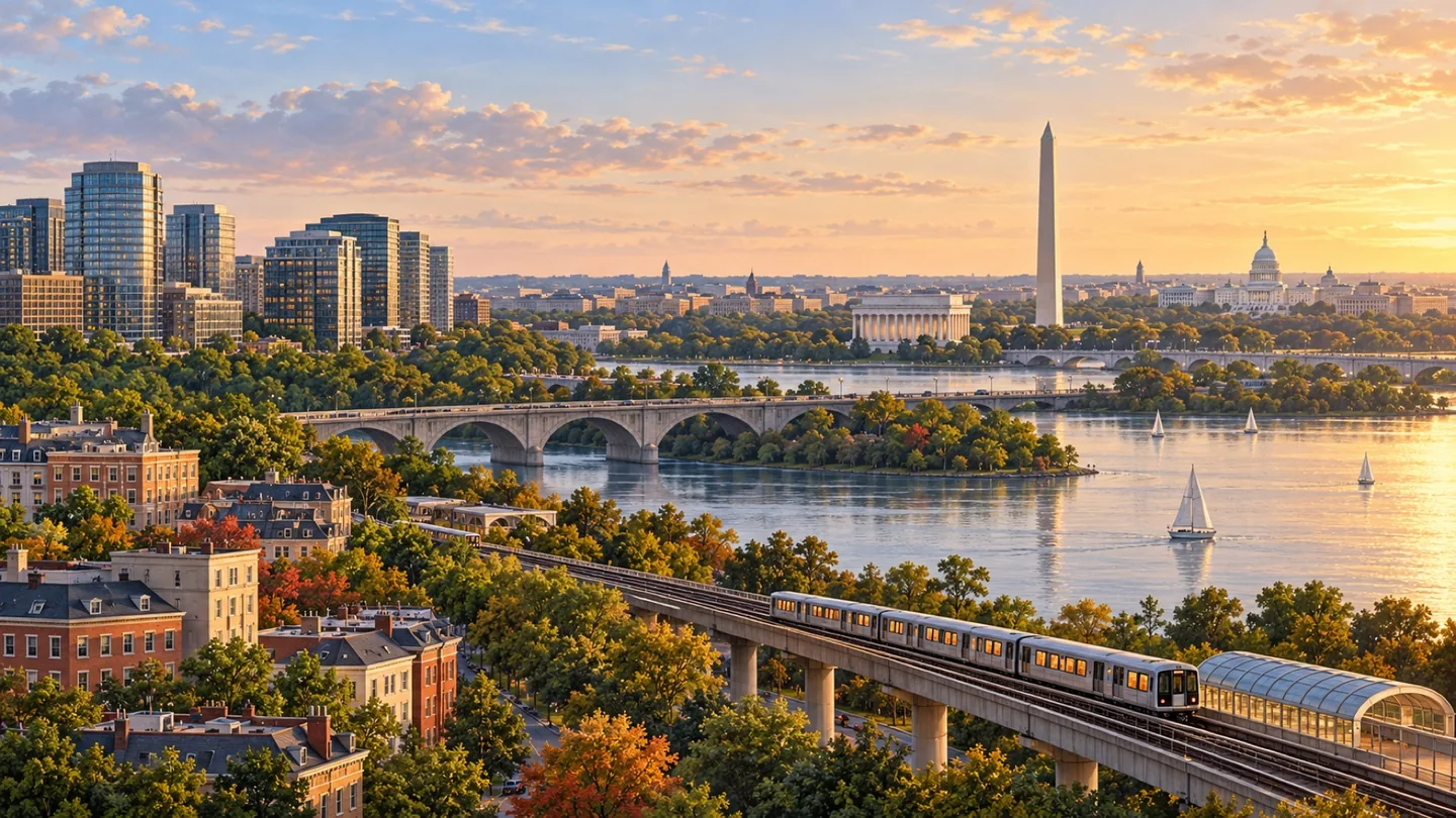
The Golden Triangle is a defined business improvement district spanning a large office-centered part of northwest Washington, while K Street continues beyond it. The area links professional services, global institutions, parks and federal-adjacent business. Readers need the exact address, Metro entrance and responsible public or BID source.
The Golden Triangle BID stretches from the Dupont Circle area toward Pennsylvania Avenue and includes much of the commercial district around Connecticut Avenue, Farragut Square and western K Street. It is a BID service area, not a separate government or universally accepted neighborhood boundary. K Street is a longer corridor that crosses other downtown districts, so the two names should not be treated as synonyms. Coverage can connect offices, public spaces, restaurants, international institutions and emerging residential uses. Its GovCon value lies in professional networks and proximity to federal customers; lobbying, policy advocacy and procurement are different activities and must be described separately.
Office towers and weekday activity remain prominent, but the district also contains parks, restaurants, hotels, cultural institutions and public-realm programs. Farragut Square, Connecticut Avenue and the blocks west toward Washington Circle do not function exactly alike. Lunch, commuting and after-work periods can be busy while other times feel quieter. Useful coverage should show how individual blocks are changing without presenting the entire BID as one continuous experience. Seasonal programming adds another pattern.
The area has historically been office-centered, with housing more evident near its edges and in newer mixed-use or conversion projects. Readers should verify whether a proposed conversion has approvals, financing, construction activity or completed residences before treating it as available housing. For any building, compare entrances, deliveries, parking, bicycle facilities and nearby daily services. District property, zoning and permit records remain the proper sources for site-specific conclusions. Review current occupancy directly.
Farragut North and Farragut West are the principal Metrorail stations, with McPherson Square and Dupont Circle useful for some addresses. The above-ground Farragut Crossing connects paid trips between the two Farragut stations under WMATA's current rules, but it is not an underground transfer. Bus routes, bikeways and garages vary by block. Plan from the exact entrance and check service alerts, demonstrations, street closures and event restrictions before time-sensitive travel. Allow flexibility.
Public space involves several owners and operators, including the District, federal agencies, the National Park Service and the BID. A park improvement, streetscape concept or office-conversion strategy should not be described as completed until the responsible source confirms it. Security restrictions near federal sites can change access without making the whole district closed. Businesses should confirm loading, curb use, permits, building hours and emergency information with the entity that controls the property or street.
The district concentrates law, consulting, associations, finance, hospitality, international organizations and government-facing professional services. It can support meetings, partnerships and business development, but location does not create procurement eligibility or agency endorsement. GovCon coverage should route readers to SAM.gov, agency small-business offices and other primary acquisition sources, while local reporting follows office demand, conversions, retail, workforce events and the BID's economic-development programs without turning promotional data into independent proof. Sources matter.
SCHOOLS + STUDENT LIFE
A neighborhood name does not prove a school assignment, voting district, ward, precinct, tax parcel or service boundary. Use the exact address in the current official lookup and confirm unusual cases with the responsible agency.
The school system and enrolled school make individual assignment, enrollment, transfer and athletic-eligibility decisions.
CIVIC + EVERYDAY SERVICES
Ward, ANC, school boundary and public-space questions can follow different maps. Check the exact address and current school year before making a household decision.
Jurisdiction resources checked 2026-11-10. Recheck changing boundaries, officeholders, meeting dates and registration inventory at the official source.
USE THIS AREA WELL
Start by separating three ideas: the Golden Triangle BID service area, K Street as a long corridor and downtown Washington as a broader editorial label. Confirm which one applies to the address or event. Then identify the nearest station entrance, the walking route and any federal, District or BID-controlled public space along the way. A claim that fits Farragut Square may not fit blocks near Dupont Circle or Washington Circle.
For business coverage, distinguish a law firm, association, lobbying practice, federal contractor and government office rather than grouping them as one influence industry. Procurement claims require an official acquisition source; proximity to federal offices is only geographic context. For residents and visitors, verify current restaurant hours, park programming, building access and construction. For property decisions, separate a conversion proposal from an approved or occupied project.
BEFORE YOU CHOOSE
ONGOING COVERAGE
OFFICIAL STARTING POINTS
RELATED READING
guide
GUIDE
Build a journey around the actual address, time and return trip. A station name alone rarely tells the whole story.
 guide
GUIDE
Use the station area and building address to turn a broad Tysons search into a practical plan.
 guide
GUIDE
Reston works best when you connect the transit map to the particular destination and path you intend to use.