 guide
GUIDE
Getting Around the Capital Region: Metro, Rail, Bus, Roads and Tolls
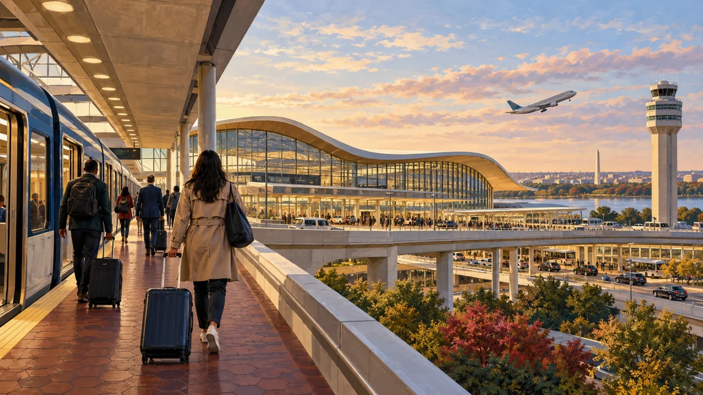
Build a journey around the actual address, time and return trip. A station name alone rarely tells the whole story.
CAPITAL REGION · JURISDICTION
Arlington County combines Metro-centered business districts, residential neighborhoods, parks, historic sites and local commercial corridors in a compact jurisdiction. Rosslyn, Clarendon and National Landing are useful starting points, but the county’s many neighborhoods and planning areas should not be treated as separate cities.

Arlington County combines Metro-centered business districts, residential neighborhoods, parks, historic sites and local commercial corridors in a compact jurisdiction. Rosslyn, Clarendon and National Landing are useful starting points, but the county’s many neighborhoods and planning areas should not be treated as separate cities.
Begin with the jurisdiction: Arlington is a Virginia county, and its familiar urban-village names are places within the county rather than incorporated towns. Rosslyn, Courthouse, Clarendon, Virginia Square and Ballston form a connected corridor with distinct station areas. Columbia Pike, Shirlington, Green Valley and neighborhoods north of Langston Boulevard offer different street patterns, transportation choices and commercial settings. A useful county guide keeps those differences visible.
Arlington’s official neighborhood material describes more than sixty neighborhoods and several primary planning corridors. Those names help organize local context, but they do not replace an address check. For a home, business or development question, use the county’s property, planning and permit resources for the actual site. A neighborhood description can explain the surroundings; it cannot establish parcel rules or promise a future project.
For a transit-oriented comparison, walk from the station entrance to the building you are evaluating. Count crossings, changes in grade, weather exposure and the final doorway. Repeat the route after work or an evening event. A station that looks close on a map may be less convenient for one entrance or a person with luggage, while a slightly longer route may be simpler and better lit.
National Landing is a current business-improvement-district identity covering parts of Arlington, including Crystal City, Pentagon City and Potomac Yard in Arlington. Do not use that label to erase the jurisdictional line with Alexandria’s separate Potomac Yard area. When a service, permit, school or property question matters, the address and responsible government control.
Arlington’s General Land Use Plan and sector or neighborhood plans guide long-range decisions. They are not the same as an approved site plan or completed building. Read the relevant plan, then locate the individual project record and current public-engagement material. County planning pages also provide the clearest way to distinguish proposals from work already delivered.
For a visit, choose one corridor and one secondary activity: a Rosslyn river connection, a Clarendon meal, a Ballston stop, a National Landing event or a park. For a move or office search, compare recurring trips and building access. The best Arlington decision uses the county’s compactness as an opportunity to test routes in person, not as a reason to assume every location works the same way.
Parks and trails add another layer. A Potomac-facing route near Rosslyn differs from a neighborhood park or a W&OD connection near Shirlington. Check the responsible county, regional or federal operator for maps and alerts. Do not assume that a green space shown on a general map has the same hours, bicycle rules or facilities as the next one.
For visitors, a one-corridor plan is usually stronger than an Arlington-wide checklist. Combine a primary destination with one meal, public space or short walk. For residents, use the same discipline on recurring errands: identify which trips are walkable from the building and which still require a bus, bicycle or car. A compact county can still produce very different door-to-door routines.
For revenue, Arlington offers clear reader-intent packages around relocation, business travel, dining, recreation and professional services. The publication should sell sponsorship of useful guide collections, not placement disguised as editorial merit. A Rosslyn-to-Ballston series or National Landing visitor package can work commercially only if sponsored businesses are labeled and the underlying guide remains accurate for every reader.
A practical Arlington publishing rhythm can rotate among corridor guides, parks and trails, civic explainers and business-district reporting. Each story should answer a specific reader question and link to the exact county or operator page supporting changing facts. Engagement data can then show whether Rosslyn, Clarendon, National Landing, Columbia Pike or another area deserves the next deep guide. This is a better growth model than adding thin pages simply to cover every neighborhood name.
Review the hub when county planning resources, featured-place relationships or transportation references materially change. Event listings and restaurant news should live in dated, expiring formats rather than inside evergreen jurisdiction copy. That separation keeps the public page stable while allowing timely local reporting elsewhere.
A future Arlington expansion should also connect clearly to the regional trails and game-day guides where the reader’s trip crosses into Washington or Alexandria. Cross-market usefulness is a strength, but every page must preserve the jurisdiction line and source owner.
Arlington is a Virginia county with no incorporated towns inside it. Urban villages and neighborhoods are planning and place identities, not separate governments. Rosslyn, Clarendon and National Landing are featured starting points. National Landing’s BID service area is in Arlington; Alexandria’s Potomac Yard is adjacent but separate. Use county records for property and development questions, and live operator tools for transit, roads and trail conditions.
OFFICIAL STARTING POINTS
RELATED READING
guide
GUIDE
Build a journey around the actual address, time and return trip. A station name alone rarely tells the whole story.
 guide
GUIDE
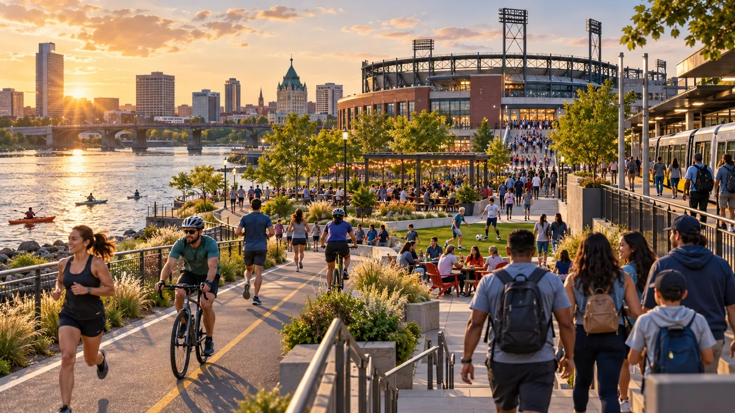
Five station areas offer a useful way into Arlington, but the best comparison happens on the blocks you would actually use.
 guide
GUIDE
Compare four signature trail experiences across Northern Virginia and Washington, with official maps, access choices and practical first-outing plans.